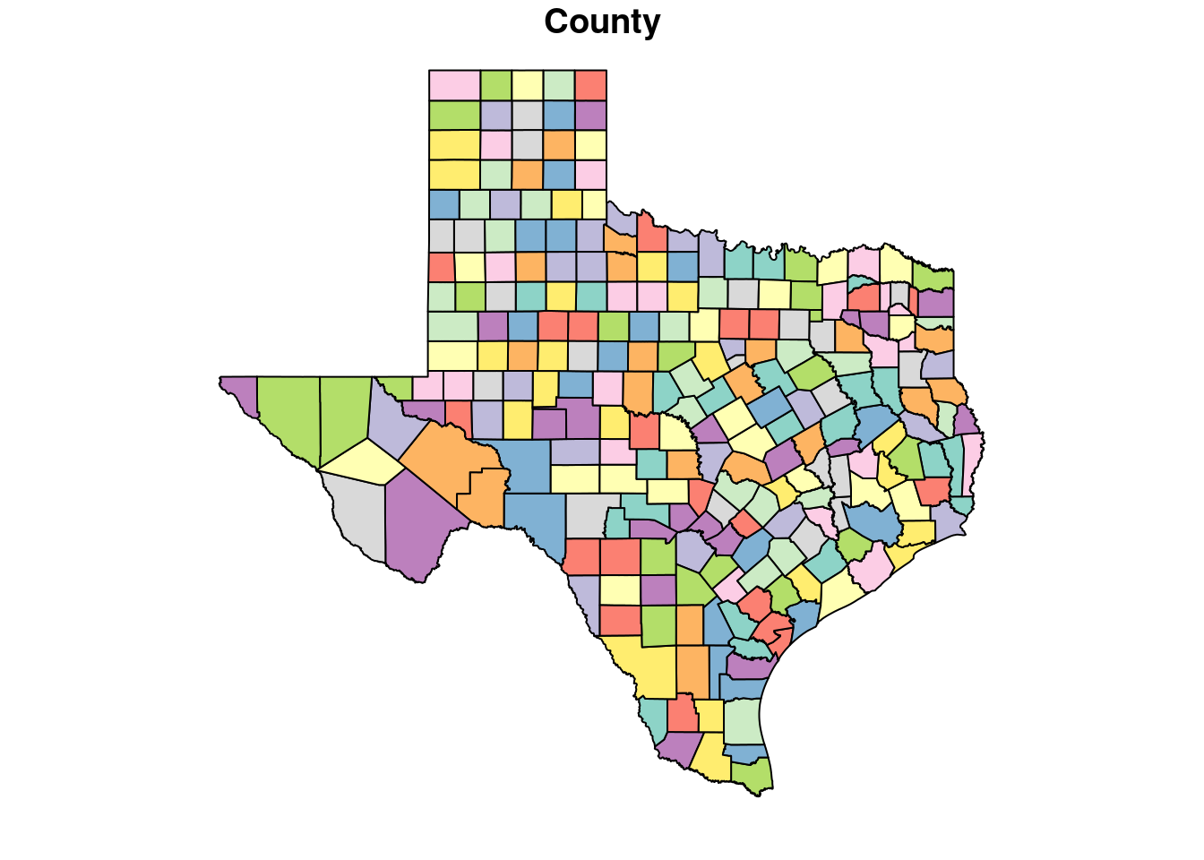
path <- "/home/ajackson/Dropbox/Rprojects/Datasets/Texas_County_Boundaries_gdb/"

# Read the feature class
Counties <- st_read(paste0(path, "4d61e1c90493475db4bbff0f229a9bcf.gdb"),
                    stringsAsFactors = FALSE)
Reading layer `County' from data source
`/home/ajackson/Dropbox/Rprojects/Datasets/Texas_County_Boundaries_gdb/4d61e1c90493475db4bbff0f229a9bcf.gdb'
using driver `OpenFileGDB'
Simple feature collection with 254 features and 9 fields
Geometry type: MULTIPOLYGON
Dimension: XY
Bounding box: xmin: -11871800 ymin: 2978934 xmax: -10409240 ymax: 4369694
Projected CRS: WGS 84 / Pseudo-Mercatorsummary(Counties) CMPTRL_CNTY_NBR CNTY_NM DPS_CNTY_NBR FIPS_ST_CNTY_CD
Min. : 1.00 Length:254 Min. : 1.00 Length:254
1st Qu.: 64.25 Class :character 1st Qu.: 64.25 Class :character
Median :127.50 Mode :character Median :127.50 Mode :character
Mean :127.50 Mean :127.50
3rd Qu.:190.75 3rd Qu.:190.75
Max. :254.00 Max. :254.00
TXDOT_CNTY_NBR TXDOT_DIST_NBR GID SHAPE_Length
Min. : 1.00 Min. : 1.00 Min. : 1.00 Min. : 93641
1st Qu.: 64.25 1st Qu.: 6.00 1st Qu.: 64.25 1st Qu.:234060
Median :127.50 Median :12.00 Median :127.50 Median :256402
Mean :127.50 Mean :12.19 Mean :127.50 Mean :284618
3rd Qu.:190.75 3rd Qu.:18.00 3rd Qu.:190.75 3rd Qu.:304714
Max. :254.00 Max. :25.00 Max. :254.00 Max. :728747
SHAPE_Area SHAPE
Min. :5.474e+08 MULTIPOLYGON :254
1st Qu.:3.001e+09 epsg:3857 : 0
Median :3.402e+09 +proj=merc...: 0
Mean :3.764e+09
3rd Qu.:3.765e+09
Max. :2.138e+10 # unproject the data to lat longs on proper datum
Counties <- st_transform(Counties, googlecrs)
summary(Counties) CMPTRL_CNTY_NBR CNTY_NM DPS_CNTY_NBR FIPS_ST_CNTY_CD
Min. : 1.00 Length:254 Min. : 1.00 Length:254
1st Qu.: 64.25 Class :character 1st Qu.: 64.25 Class :character
Median :127.50 Mode :character Median :127.50 Mode :character
Mean :127.50 Mean :127.50
3rd Qu.:190.75 3rd Qu.:190.75
Max. :254.00 Max. :254.00
TXDOT_CNTY_NBR TXDOT_DIST_NBR GID SHAPE_Length
Min. : 1.00 Min. : 1.00 Min. : 1.00 Min. : 93641
1st Qu.: 64.25 1st Qu.: 6.00 1st Qu.: 64.25 1st Qu.:234060
Median :127.50 Median :12.00 Median :127.50 Median :256402
Mean :127.50 Mean :12.19 Mean :127.50 Mean :284618
3rd Qu.:190.75 3rd Qu.:18.00 3rd Qu.:190.75 3rd Qu.:304714
Max. :254.00 Max. :25.00 Max. :254.00 Max. :728747
SHAPE_Area SHAPE
Min. :5.474e+08 MULTIPOLYGON :254
1st Qu.:3.001e+09 epsg:4326 : 0
Median :3.402e+09 +proj=long...: 0
Mean :3.764e+09
3rd Qu.:3.765e+09
Max. :2.138e+10 # Let's do a little cleanup
Counties <- Counties %>% rename(County=CNTY_NM)